Major Metropolises Visualized Through Tweets (7 Pictures)
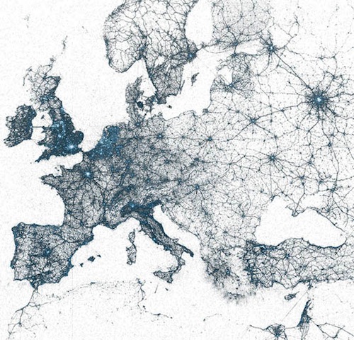
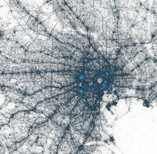
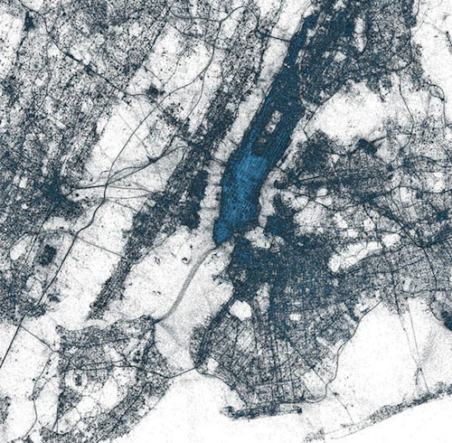
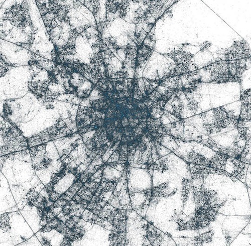
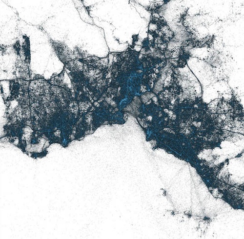
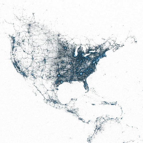
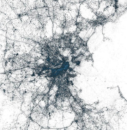
Twitter hat vor Kurzem mithilfe von Sattelitenaufnahmen eine Visualisierung von sämtlichen weltweit, geogetaggten Tweets seit 2009 erstellen lassen. Jeder Punkt auf der Karte stellt dabei einen Tweet dar, man kann wunderbar erkennen, wo in den Metropolen Tokyo, Moskau, Istanbul, Bosten oder New York am meisten getwittert wurde.
„Twitter recently created a visualization of all of the geo-tagged Tweets since 2009. The resulting satellite images of major cities depicted through billions of dots (each dot being a tweet, with the colour symbolizing the amount of tweets) is stunning to say the least. Cities in the Visualizations series include Tokyo, Moscow, Istanbul, Boston, and as seen above, New York. They also have maps of both North America and Europe.“
Tokyo:
New York:
Moscow:
Istanbul:
North America:
Boston:
___
[via]


Schreibe einen Kommentar